
Oakland Township Neighbors: Block Sources
An Oakland Township block-level question needs sources that identify different things. Oakland County Property Gateway shows parcel geometry and map context. Township BS&A can provide a parcel, situs, public owner display, and related assessment or tax clues. The Register of Deeds Super Index records legal land instruments. Michigan voter records follow a formal request path, rather than an instant street screen. Public association pages can describe an organization, but they are not a public roll of everyone on a road.
| Source | What it shows about a block | Access |
|---|---|---|
| Property Gateway | Parcel polygons, PINs, map layers, aerials, and road context | Public map browse; some reports or products cost money |
| Township BS&A | Address, parcel/PIN, legal-description, public owner, tax, and building-record clues when displayed | Public basic search; field coverage varies |
| Super Index | Recorded deed, mortgage, release, lien, plat, and instrument references | Free index; paid images or details |
| Michigan QVF request | Scoped voter-file data subject to statutory redactions | Formal request, not a casual street or ZIP screen |
| Public association page | Organization notices, contacts, amenities, or public rules | Public material only; member areas remain private |
Each Oakland Township result must be labeled for what it proves. A PIN identifies a parcel. A recorded deed documents an interest or transfer. A mailing address is correspondence information. None of those facts alone prove who is currently present at an address, and public records do not reliably identify every household member or every occupant.
Oakland Township Neighbors on Property Gateway
Oakland County Property Gateway is the documented map starting point for an Oakland Township nearby-parcel review. It accepts property address or PIN input, partial strings, percent wildcards, comma-separated PINs, and map browse/click. The input requires at least five characters. The system also lists tax parcel maps, current and historical aerial imagery, elevation, FEMA DFIRM flood information, landowner reports, and tax reports, with free and premium layers distinguished by the product.
An Oakland Township searcher can use the target address or PIN to open the map, then inspect the surrounding polygons. Record the map date, the target PIN, each directly adjacent PIN/address, and the legal road boundary used to define the block. The public instructions do not document a fixed block export, buffer tool, or measure tool. Do not claim one exists until the county documents it. Map and municipal data sources can also update on different schedules.
The Property Gateway entry screen shows the address/PIN starting point and the county’s map-report context.
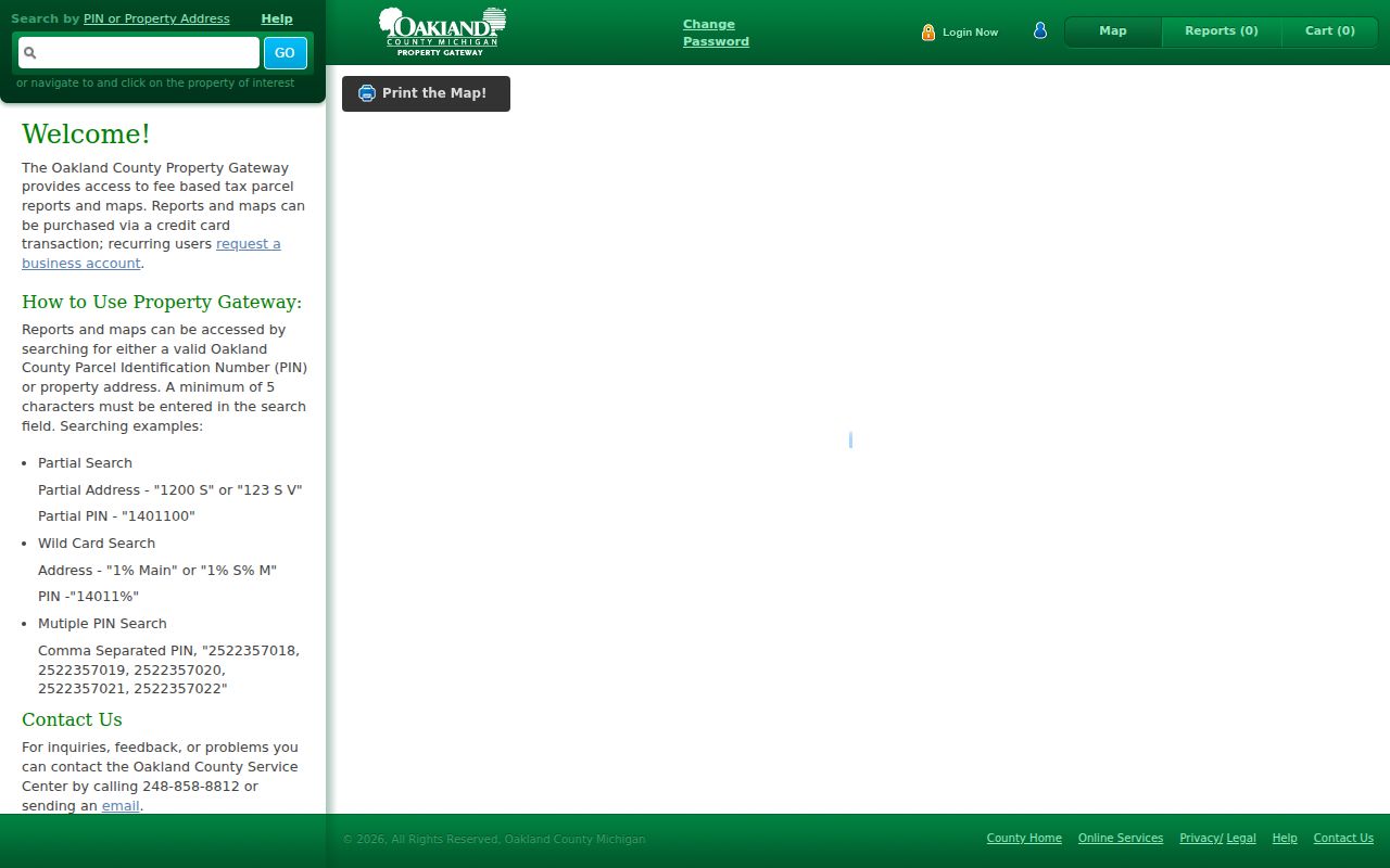
Use the displayed Oakland Township parcel boundaries as a research frame, then corroborate a property conclusion through the appropriate assessment or recorded-instrument source.
Map Oakland Township Neighbors by Parcel
The Oakland Township parcel workflow is deliberately narrow. It begins with one land location and moves only to the parcels that share a visible edge, corner, or road-facing relationship. This differs from a whole-street project. For a full address-by-address Oakland Township record trail along a road, use the Oakland Township Street Directory. A block review should stay tied to the recorded target, the map date, and the legal boundaries visible in the county system.
- Search the target Oakland Township address or PIN in Property Gateway and record the returned parcel identifier, situs, map date, and visible road boundaries.
- Browse or click the map and record each immediately adjacent parcel polygon with its PIN and displayed address, if any.
- Check the same Oakland Township parcel in BS&A for public assessment, tax, legal-description, or owner clues. Keep situs and mailing fields separate.
- Use Super Index only when a recorded title question remains, and cite the recording date, instrument number, grantor, grantee, and legal-description clue.
- Stop at the public record boundary. Do not build or publish a private household list from the parcel set.
The county calls the PIN a unique ten-digit identifier and uses parcel number, parcel ID, PIN, and Sidwell as aliases in Oakland Township property contexts. A legal description may instead use section, township/range, lot/block/subdivision, or metes-and-bounds wording. Those identifiers are more dependable across time than an assumed street-name conversion.
Note: No verified Oakland Township address-renumbering year or complete historic-to-current road crosswalk was found in the official research.
Oakland Township Neighbors and QVF Requests
Michigan does not provide a casual official screen where someone types an Oakland Township street or ZIP and receives live voter addresses. The public route is the Qualified Voter File Data Request Form. It lets a requester choose one geography, including an entire county, a city/township jurisdiction, or a specified ward or precinct. Delivery choices are Pick up only, FTP, or Mail. The form also offers voter-history selections and space for other voter-related data requests.
That formal scope matters. An Oakland Township, county, or precinct request is not a casual street-by-street or ZIP-by-ZIP tool, and the accessible official material did not disclose a current bulk-fee schedule. Michigan voter records are public subject to MCL 168.509gg. The statute protects or redacts fields such as application-office information, driver-license or ID number, month and day of birth, telephone number, and digitized signature. Ballot history can show that a ballot was submitted, not how someone voted.
Use an Oakland Township QVF request only for a lawful, defined civic or historical purpose. Do not repeat protected fields, infer political views, or use a voter record as proof that a person currently lives at the address. When a result is unavailable, say that a formal request or a different geography may be needed instead of filling the gap with speculation.
Oakland Township Neighborhood Associations
Oakland Township public association material is useful for learning what an organization says about itself, but it is not a government registry and it cannot establish a complete block list. No official township-wide association inventory was located. The public sources identified several associations with different boundaries and access practices. For an Oakland Township property question, use recorded covenants or easements through the Register of Deeds and parcel context through county GIS. Use an association page only for its own current public notices or rules.
| Public organization clue | What the public material supports | Private boundary |
|---|---|---|
| Wellington at Oakland | Public site describes 112 single-family homes near Dutton and Brewster, with a board elected every two years and public contact or FAQ material. | Resident directory and board documents are in secure areas. |
| Goodison Hills HOA | Public site describes custom homes north of Rochester near Paint Creek Trail and the Cider Mill. | Resident resources and private documents are separate. |
| Oakland Farm HOA | Public subdivision site provides organizational context. | Directory and documents are behind login. |
| Kirkland HOA | Public site describes community features. | Resident information is behind login. |
A public Wellington at Oakland association page illustrates the Oakland Township distinction between public association information and gated member materials.
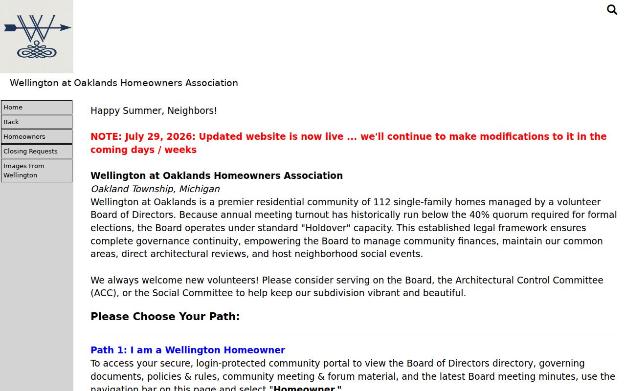
The public page can support an organization-level fact, while private directories and documents should remain inaccessible and unpublished.
Oakland Township Neighbors and Recorded Community Rules
An Oakland Township road or subdivision name does not establish that every parcel is subject to the same recorded rule. Association websites can go stale, and their boundaries may not match the current parcel map. When the question concerns covenants, easements, restrictions, or a plat, look for the recorded instrument in Super Index and compare its legal description to Property Gateway. The Register of Deeds, not a public notice page, is the source for the instrument trail.
Oakland Township Property Gateway can provide useful context through parcel maps, aerials, elevation, flood products, and report options. However, a map layer is not a substitute for the recorded legal description. Keep an instrument number, recording date, document type, and legal-description language in the research record. That helps distinguish a current public association notice from a recorded condition that may affect a defined parcel.
The Oakland Chamber member directory, Oakland Township boards, RHPL, and the Oakland Township Historical Society add public institutional context. Membership and participation are voluntary or organization-specific, not evidence of every neighbor on a block.
Oakland Township Neighbors: Official and Commercial Tools
Official Oakland Township property and records tools disclose their custodian, scope, and access condition. Commercial neighbor-lookup products can combine sources, but their collection dates, matching rules, correction process, and coverage are often less clear. A source category should never replace checking the primary county record. For an Oakland Township property question, start with the county system that created or holds the relevant evidence.
| Question | Official path | Commercial lookup category |
|---|---|---|
| Which parcels border a target? | Property Gateway map, PIN, and dated parcel geometry | May simplify map data, but may not show source date or parcel boundary basis |
| What instrument affects a parcel? | Super Index, document number, recording date, and legal description | May omit images, indexing context, or paid county detail access |
| What does an association publicly say? | Association’s own public notice or contact page | May repeat stale material or blur public and private content |
Use the Oakland Township record identifier and retrieval date alongside a result. A parcel owner, a former owner, an association contact, and an occupant are not interchangeable labels. The safest practice is to state the narrow fact that the named source actually supports.
Oakland Township Neighbors and Postal Geography
Oakland Township is served in the research record by the 48306 and 48363 postal areas, yet an Oakland Township mailing city can read Rochester or Rochester Hills. Postal, school, tax, parcel, and township boundaries do not necessarily align. A nearby address should therefore be checked against the county parcel result and the government jurisdiction, not inferred from its ZIP or mailing city. USPS is the address-specific authority for preferred city and ZIP+4 questions.
This Oakland Township geography matters around a block edge. A county parcel may be within Oakland Township while a postal label points to a neighboring community. The county map, PIN, legal description, and current government jurisdiction can resolve the land question. A ZIP-only conclusion cannot. The official research did not locate a complete postal-station or every-road crosswalk, so retain that limitation rather than treating a general map as delivery proof.
Oakland Township Neighbor Lookup Limits
Oakland Township public parcel research does not open every detail about a block. Names of non-owner occupants, additional household members, utility or delivery customers, driver-record addresses, protected voter fields, and Address Confidentiality Program locations are outside a lawful public lookup. The Michigan ACP provides eligible people a substitute address for government use. Its purpose is protection, not a puzzle to solve. Private association directories and login-only documents carry the same boundary.
Michigan MCL 750.411h makes a course of repeated unconsented contact or harassment unlawful. Keep Oakland Township block research limited to neighborly awareness, property history, civic geography, or a defined records question. Do not use public information to watch, intimidate, or contact someone. If a property notice looks suspicious, compare the sender, recording date, instrument number, grantor/grantee, and legal description with the county source before acting.
Lawful use. Oakland Township block research is for understanding public parcel and community records. Do not use it to expose protected information, target a person, or turn a public record into harassment.
Note: When a source does not return a result, describe the searched portal and date rather than asserting that a person or record does not exist.